
Fire detection
How Satellites Detect Wildfires: VIIRS, MODIS and GOES Explained
How fire-detecting satellites spot hotspots from orbit, what VIIRS, MODIS and GOES each do best, and how to interpret fire detections on a map.
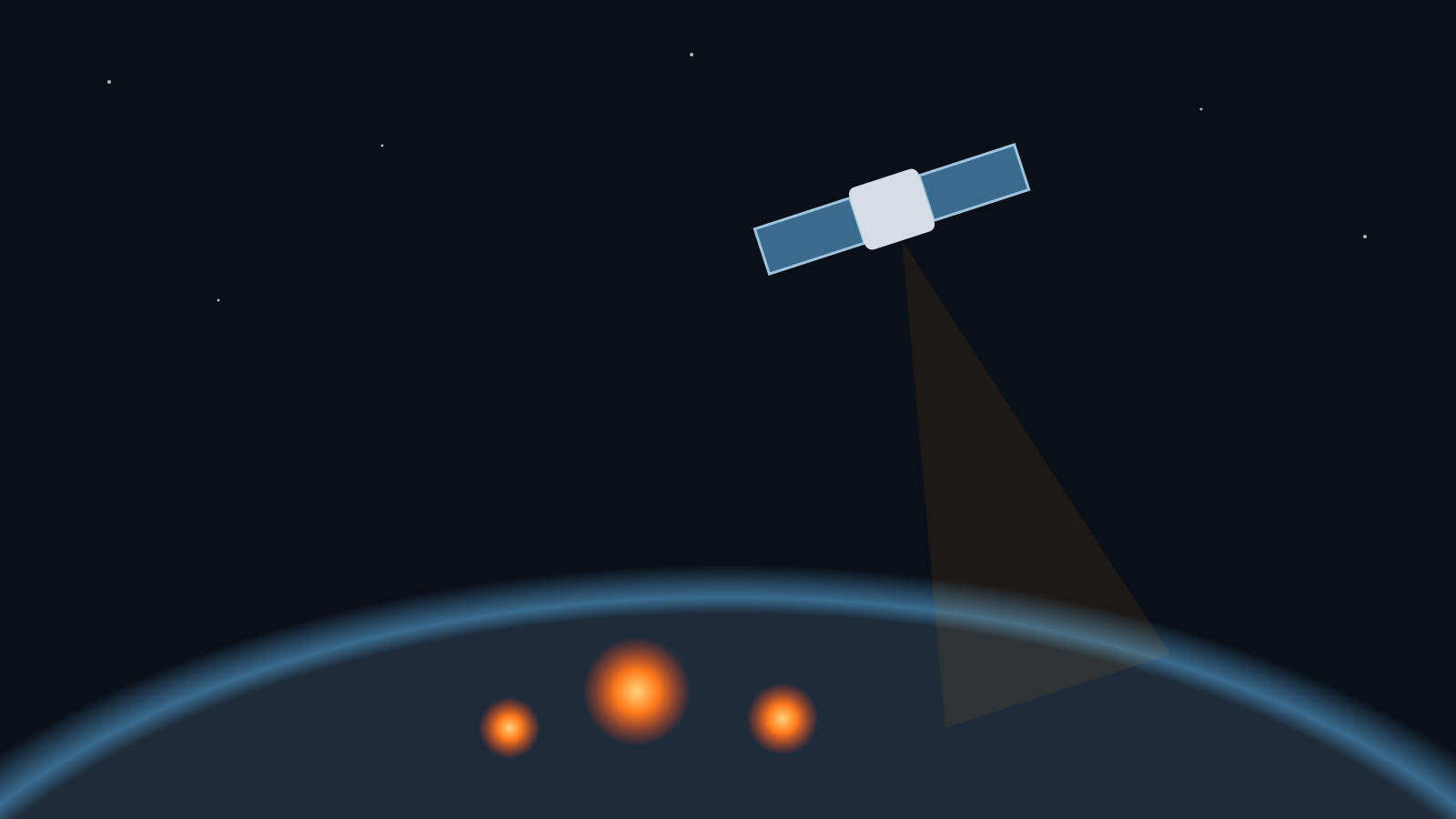
Most dots on a wildfire map are not reports from the ground — they are thermal anomalies picked up by sensors in orbit. Knowing how those sensors work makes it much easier to judge what a detection near you actually means.
What a satellite fire detection is
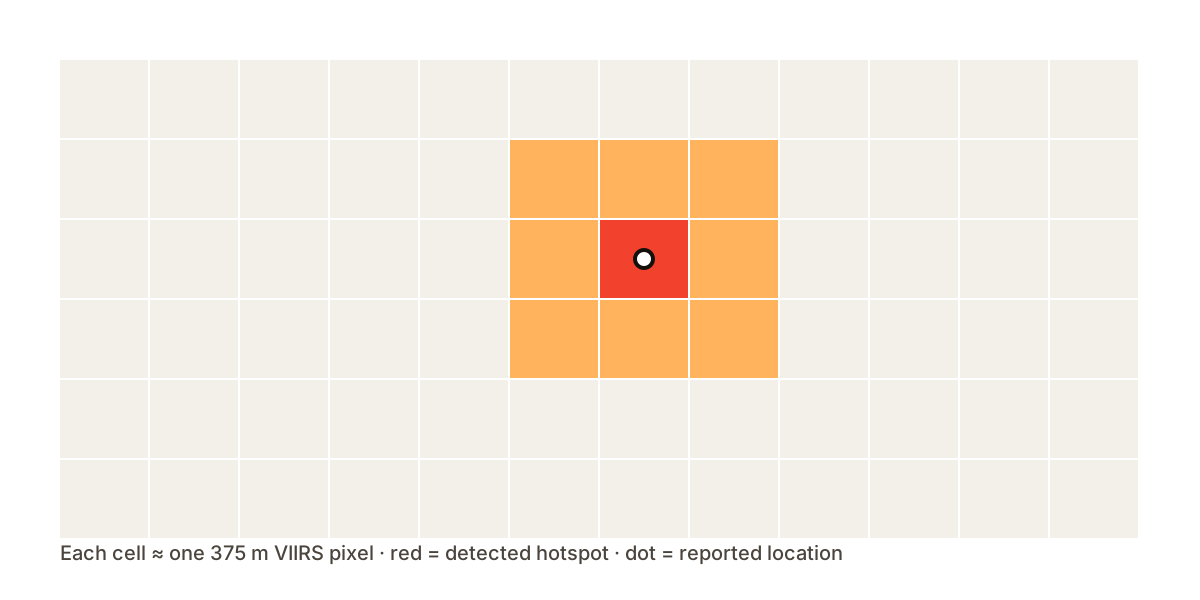
Fire-detecting instruments measure infrared energy. When a pixel is significantly hotter than its surroundings, an algorithm flags it as a hotspot. The point you see on a map marks the centre of that pixel, not the exact location of the flames.
The main fire-detecting satellites
VIIRS
VIIRS flies on the Suomi NPP, NOAA-20 and NOAA-21 polar-orbiting satellites. Its 375 m fire pixels are fine enough to catch smaller fires, and each satellite passes over most places roughly twice a day.
MODIS
MODIS on NASA’s Terra and Aqua satellites has a coarser 1 km fire product, but its record goes back to 2000, which makes it valuable for comparing seasons.
GOES
Geostationary GOES satellites watch the Americas continuously and refresh every few minutes. Their pixels are larger, so they trade detail for speed — often the first to show a fast-growing fire.
Limitations to keep in mind
- Thick cloud and dense smoke can hide fires from view.
- Industrial heat sources, gas flares and volcanoes can trigger detections.
- Polar-orbiting passes leave gaps of several hours between observations.
- Each detection carries a confidence level — treat low-confidence points with more caution.